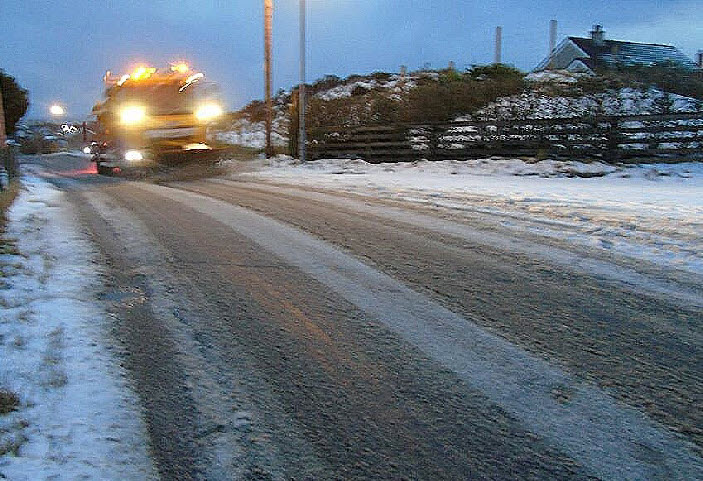
A weather warning remains in force across the Western Isles with wintry hazards and bitterly cold temperatures continuing on Friday.
Snow showers fell across northern Scotland through Thursday with a yellow warning for snow and ice valid until Friday morning.
Thursday night will be another bitterly cold night, with a widespread hard frost expected.
It is forecast to be the coldest night of the winter for some, with -16°C possible
over snow cover area in the Highlands though the Western Isles will not see these
extreme low temperature levels.
Sleet and snow showers will continue for the rest of Thursday, dying out by across northwest Scotland overnight into Friday with a yellow snow and ice warning in effect for the Western Isles until 10am.
Freezing conditions are forecast for Friday night while a change to milder conditions is expected through the weekend. The Hebrides is in line to be among the first places to see this while for the south the change will be slower, perhaps taking into next week before temperatures recover closer to average.
By Monday it’ll be much milder, with temperatures expected to be touching double digits for the Western Isles.
Chief Met Office meteorologist, Paul Gundersen, said: “Milder air will attempt to move into the UK from the southwest on Friday morning, heralding the end of this impactful cold spell.
“Increasing cloud and light rain, perhaps preceded by a little snow, will begin to affect northwestern then northern parts of the UK through the weekend.”
Met Office weather warning remains in force for Western Isles
9 January 2025