Met Office issues warnings as two spells of stormy weather set to impact Western Isles
16 October 2024
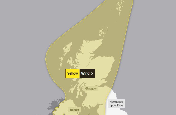
Two weather warnings have been issued for the Western Isles with periods of wild weather coinciding with very high tides this weekend.
Strong winds and may cause some disruption in the Western Isles and west coast on Friday.
After some respite on Saturday, a second, more intense bout of strong winds may cause disruption on Sunday and into Monday with a small chance of injuries and danger to life from flying debris, hazards from large waves on shores, and possible power cuts.
On Friday morning into the evening, strong south to southeasterly winds are expected
into the early afternoon, before easing and turning southwesterly through the afternoon.
Wind gusts of 45-55 mph are possible fairly widely for a time, and perhaps in excess
of 60 mph in more exposed locations. Given the wind direction and very high tides,
some disruption is possible.
On Sunday and into Monday, a windy period is expected across the whole of the UK with an increased chance of some disruption for the Western Isles. Some of the strongest gusts may affect the Outer Hebrides according to current forecasts.
Initially a period of strong south to southeasterly winds will likely develop through
Sunday morning, with gusts of 50-60 mph possible in some inland areas, especially
Northern Ireland and western Scotland, and perhaps up to 70 mph along exposed coasts
and hills.
Winds will then likely turn southwesterly, with a period of especially strong winds
possible during Sunday afternoon and evening in western Scotland where gusts could
potentially reach 70-80 mph in exposed areas, and more generally 55-65 mph in other
parts of the warning area. These strong winds in conjunction with high spring tides
may cause some disruption.
The Met Office warns some delays to road, air and ferry transport are likely. Probably
some bus services affected, with some journeys taking longer. Delays for high-sided
vehicles on exposed routes and bridges are likely.
In addition, some coastal routes, sea fronts and coastal communities will be affected by spray or large waves.
Some short term loss of power and other services is possible.
On Sunday there is a small chance that injuries and danger to life could occur from large waves and beach material being thrown onto sea fronts, coastal roads and properties.
There are slight chances of some damage to buildings, such as tiles blown from roofs. Power cuts may occur, with the potential to affect other services, such as mobile phone coverage
Some roads and bridges could close.