Snow showers and ice leading to further travel disruption will affect the Western Isles again on Thursday warns the Met Office.
Drivers should take extra caution in the morning as many roads are expected to be treacherous and slippery after a freezing night.
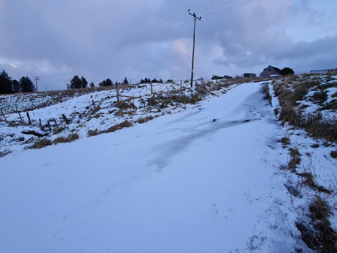
Icy pavements and paths will be hazardous for walkers with the the risk of accidents, slips, and falls.
People should wrap up well as it will feel bitterly cold in the low temperatures and wind.
Sleet and snow showers will continue over Thursday, before dying out by the end of Thursday evening.
Further accumulations of 3-7 cm are expected to low levels, with 10-15 cm possible
above 150 metres.
Where any modest daytime thaw has occurred, icy stretches are likely on untreated surfaces.
Some key mainland travel routes for the islands - such as through Inverness, the
A9, Ullapool, Skye and Lochalsh may be impacted by snow
The wintry blast is expected to last until the start of the weekend.
By Sunday, milder air is forecast to move across much of the UK, meaning rain is more likely than snow towards the end of the weekend.
The Western Isles are likely to see some showery outbreaks of rain and breezy conditions through Sunday and Monday.
Icy blast continues with sub-
8 January 2025